
Laucala Island topographic map
Interactive map
Click on the map to display elevation.
About this map
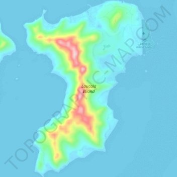
Name: Laucala Island topographic map, elevation, terrain.
Location: Laucala Island, Northern, Fiji (-16.78792 -179.70388 -16.73665 -179.66303)
Average elevation: 27 m
Minimum elevation: -2 m
Maximum elevation: 251 m
Other topographic maps
Click on a map to view its topography, its elevation and its terrain.