
野田市 topographic map
Interactive map
Click on the map to display elevation.
About this map
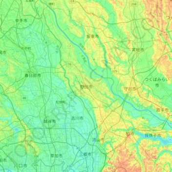
Name: 野田市 topographic map, elevation, terrain.
Location: 野田市, 千葉県, 278-0005, 日本 (35.79491 139.71487 36.11491 140.03487)
Average elevation: 13 m
Minimum elevation: -1 m
Maximum elevation: 38 m
Other topographic maps
Click on a map to view its topography, its elevation and its terrain.