
Rufunsa District topographic map
Interactive map
Click on the map to display elevation.
About this map
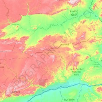
Name: Rufunsa District topographic map, elevation, terrain.
Location: Rufunsa District, Lusaka Province, Zambia (-15.69458 28.78935 -14.64314 30.21717)
Average elevation: 796 m
Minimum elevation: 332 m
Maximum elevation: 1,572 m
Other topographic maps
Click on a map to view its topography, its elevation and its terrain.