
Plateaux topographic map
Interactive map
Click on the map to display elevation.
About this map
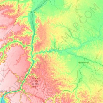
Name: Plateaux topographic map, elevation, terrain.
Location: Plateaux, Mai-Ndombe, DR Congo (-4.24534 15.89472 -1.86127 17.94270)
Average elevation: 423 m
Minimum elevation: 264 m
Maximum elevation: 730 m
Other topographic maps
Click on a map to view its topography, its elevation and its terrain.