
Lekana topographic map
Interactive map
Click on the map to display elevation.
About this map
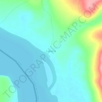
Name: Lekana topographic map, elevation, terrain.
Location: Lekana, Plateaux, Mai-Ndombe, DR Congo (-3.29417 16.20027 -3.25417 16.24027)
Average elevation: 302 m
Minimum elevation: 272 m
Maximum elevation: 411 m