
物見山 topographic map
Interactive map
Click on the map to display elevation.
About this map
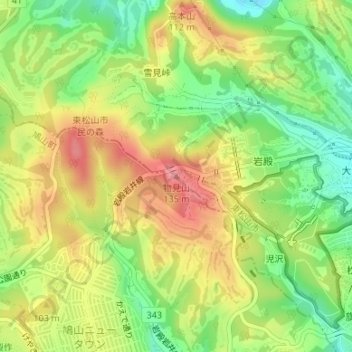
Name: 物見山 topographic map, elevation, terrain.
Location: 物見山, 東松山市, 埼玉県, 355-0065, 日本 (35.99998 139.36280 36.00008 139.36290)
Average elevation: 78 m
Minimum elevation: 29 m
Maximum elevation: 126 m
Other topographic maps
Click on a map to view its topography, its elevation and its terrain.