
火炬开发区街道 topographic map
Interactive map
Click on the map to display elevation.
About this map
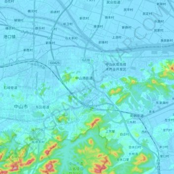
Name: 火炬开发区街道 topographic map, elevation, terrain.
Location: 火炬开发区街道, 中山市, 广东省, 中国 (22.49099 113.40823 22.58622 113.59733)
Average elevation: 26 m
Minimum elevation: -12 m
Maximum elevation: 352 m
Other topographic maps
Click on a map to view its topography, its elevation and its terrain.