
保康县 topographic map
Interactive map
Click on the map to display elevation.
About this map
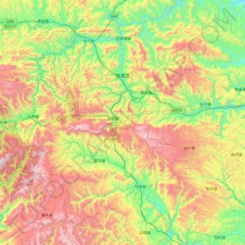
Name: 保康县 topographic map, elevation, terrain.
Location: 保康县, 襄阳市, 湖北省, 中国 (31.35690 110.75843 32.10983 111.53895)
Average elevation: 862 m
Minimum elevation: 143 m
Maximum elevation: 2,014 m
Other topographic maps
Click on a map to view its topography, its elevation and its terrain.