
木兰山村 topographic map
Interactive map
Click on the map to display elevation.
About this map
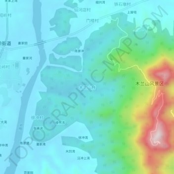
Name: 木兰山村 topographic map, elevation, terrain.
Location: 木兰山村, 武汉市, 湖北省, 中国 (31.07537 114.35067 31.11537 114.39067)
Average elevation: 124 m
Minimum elevation: 26 m
Maximum elevation: 577 m
Other topographic maps
Click on a map to view its topography, its elevation and its terrain.