
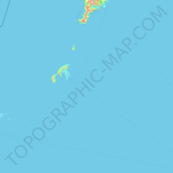
Nordland topographic map
Interactive map
Click on the map to display elevation.
About this map
Name: Nordland topographic map, elevation, terrain.
Location: Værøy, Nordland, 8063, Norway (67.36496 11.98772 67.87008 13.50668)
Average elevation: 3 m
Minimum elevation: 0 m
Maximum elevation: 816 m
Other topographic maps
Click on a map to view its topography, its elevation and its terrain.
Finnmark
Finnmark, Bamble, Vestfold og Telemark, 3967, Norway
Average elevation: 38 m
Øvre Engesland
Øvre Engesland, Birkenes, Agder, 4768, Norway
Average elevation: 355 m
Gihtsejiegŋa
Gihtsejiegŋa, Nordkalottruta, Tysfjord, Nordland, Norway
Average elevation: 1,096 m
Vetle Skagastølstind
Vetle Skagastølstind, Luster, Sogn og Fjordane, Norway
Average elevation: 1,783 m
Jesus Lever-steinen
Jesus Lever-steinen, Løvstien, Solheims Boretslag, Solheim, Årstad, Gyldenpris, Bergen, Hordaland, 5057, Norway
Average elevation: 100 m
Folgefonna
Folgefonna, Gardshammar, Kvinnherad, Hordaland, Norway
Average elevation: 709 m