
Otta topographic map
Interactive map
Click on the map to display elevation.
About this map
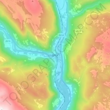
Name: Otta topographic map, elevation, terrain.
Location: Otta, Sel, Innlandet, 2670, Norway (61.73356 9.48321 61.81356 9.56321)
Average elevation: 710 m
Minimum elevation: 280 m
Maximum elevation: 1,356 m