
บ้านจั่น topographic map
Interactive map
Click on the map to display elevation.
About this map
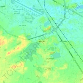
Name: บ้านจั่น topographic map, elevation, terrain.
Location: บ้านจั่น, หนองขอนกว้าง, Udon Thani, Thailand (17.31342 102.76222 17.39342 102.84222)
Average elevation: 185 m
Minimum elevation: 174 m
Maximum elevation: 204 m
Other topographic maps
Click on a map to view its topography, its elevation and its terrain.