Geolocate

Oshkosh topographic map

Interactive map

Click on the map to display elevation.

About this map

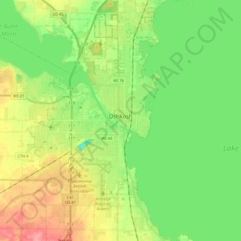
Name: Oshkosh topographic map, elevation, terrain.

Location: Oshkosh, Winnebago County, Wisconsin, United States (43.94504 -88.62270 44.09057 -88.50787)

Average elevation: 235 m

Minimum elevation: 203 m

Maximum elevation: 285 m

Other topographic maps

Click on a map to view its topography, its elevation and its terrain.

Town of Nepeuskum

United States > Wisconsin > Winnebago County

Town of Nepeuskum, Winnebago County, Wisconsin, United States

Average elevation: 258 m

Fox Crossing

United States > Wisconsin > Winnebago County

Fox Crossing, Winnebago County, Wisconsin, United States

Average elevation: 238 m

Winneconne

United States > Wisconsin > Winnebago County

Winneconne, Winnebago County, Wisconsin, 54986, United States

Average elevation: 230 m

Larsen

United States > Wisconsin > Winnebago County

Larsen, Town of Clayton, Winnebago County, Wisconsin, United States

Average elevation: 238 m

Lake Poygan

United States > Wisconsin > Winnebago County

Lake Poygan, Town of Poygan, Winnebago County, Wisconsin, United States

Average elevation: 230 m

Oshkosh

United States > Wisconsin > Winnebago County > Oshkosh

Oshkosh, Winnebago County, Wisconsin, 54903, United States

Average elevation: 239 m

Neenah

United States > Wisconsin > Winnebago County

Neenah, Winnebago County, Wisconsin, 54956, United States

Average elevation: 230 m