
交口县 topographic map
Interactive map
Click on the map to display elevation.
About this map
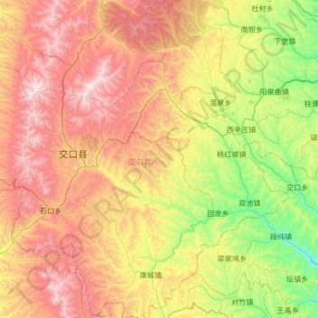
Name: 交口县 topographic map, elevation, terrain.
Location: 交口县, 吕梁市, 山西省, 中国 (36.73595 111.06164 37.20970 111.57787)
Average elevation: 1,309 m
Minimum elevation: 706 m
Maximum elevation: 2,079 m
Other topographic maps
Click on a map to view its topography, its elevation and its terrain.