
大孝堡镇 topographic map
Interactive map
Click on the map to display elevation.
About this map
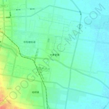
Name: 大孝堡镇 topographic map, elevation, terrain.
Location: 大孝堡镇, 孝义市, 吕梁市, 山西省, 中国 (37.07790 111.79200 37.15790 111.87200)
Average elevation: 741 m
Minimum elevation: 730 m
Maximum elevation: 776 m
Other topographic maps
Click on a map to view its topography, its elevation and its terrain.