
Thanh Sơn topographic map
Interactive map
Click on the map to display elevation.
About this map
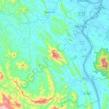
Name: Thanh Sơn topographic map, elevation, terrain.
Location: Thanh Sơn, Tỉnh Phú Thọ, Vietnam (20.91703 105.03623 21.25738 105.34478)
Average elevation: 189 m
Minimum elevation: 9 m
Maximum elevation: 1,348 m