
Bluff Springs topographic map
Interactive map
Click on the map to display elevation.
About this map
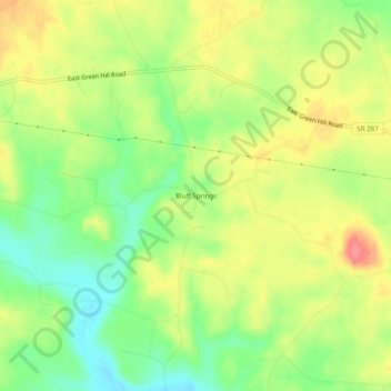
Name: Bluff Springs topographic map, elevation, terrain.
Location: Bluff Springs, Warren County, Tennessee, 37166:38581, USA (35.79868 -85.78193 35.83868 -85.74193)
Average elevation: 305 m
Minimum elevation: 270 m
Maximum elevation: 342 m