
El Houidjbet topographic map
Interactive map
Click on the map to display elevation.
About this map
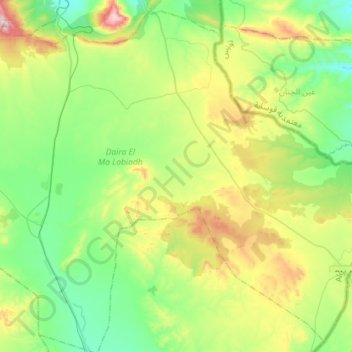
Name: El Houidjbet topographic map, elevation, terrain.
Location: El Houidjbet, El Ma Labiodh District, Tébessa, 12038, Algeria (35.12792 8.19180 35.34663 8.47653)
Average elevation: 1,128 m
Minimum elevation: 927 m
Maximum elevation: 1,582 m