
Katavi National Park topographic map
Interactive map
Click on the map to display elevation.
About this map
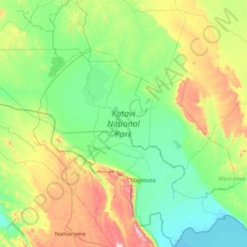
Name: Katavi National Park topographic map, elevation, terrain.
Location: Katavi National Park, Mpanda, Katavi, Western Zone, Tanzanie (-7.34301 30.64792 -6.62590 31.83747)
Average elevation: 1,124 m
Minimum elevation: 799 m
Maximum elevation: 2,334 m
Other topographic maps
Click on a map to view its topography, its elevation and its terrain.