
Moheda topographic map
Interactive map
Click on the map to display elevation.
About this map
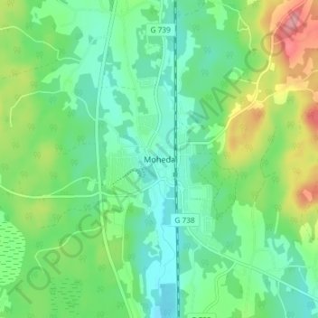
Name: Moheda topographic map, elevation, terrain.
Location: Moheda, Gemeinde Alvesta, Provinz Kronoberg, 34262, Schweden (56.98436 14.55281 57.02436 14.59281)
Average elevation: 179 m
Minimum elevation: 146 m
Maximum elevation: 250 m