
Mount Everest topographic map
Interactive map
Click on the map to display elevation.
Mount Everest
Mount Everest, known officially and locally as Sagarmatha in Nepal or Qomolangma in Tibet, is Earth's highest mountain above sea level, located in the Mahalangur Himal sub-range of the Himalayas. The China–Nepal border runs across its summit point. Its elevation (snow height) of 8,848.86 m (29,031 ft 8+1⁄2 in) was most recently established in 2020 by the Chinese and Nepali authorities.
About this map
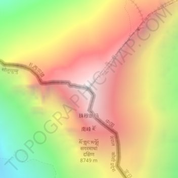
Name: Mount Everest topographic map, elevation, terrain.
Average elevation: 7,847 m
Minimum elevation: 6,597 m
Maximum elevation: 8,849 m
Other topographic maps
Click on a map to view its topography, its elevation and its terrain.