
Feltham topographic map
Interactive map
Click on the map to display elevation.
About this map
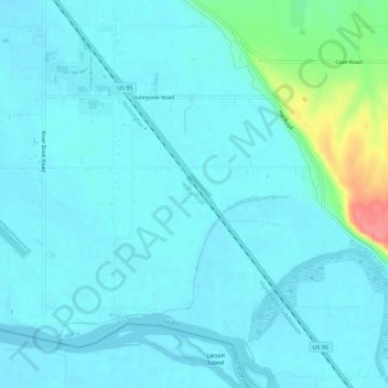
Name: Feltham topographic map, elevation, terrain.
Location: Feltham, Washington County, Idaho, USA (44.18711 -116.95100 44.22711 -116.91100)
Average elevation: 652 m
Minimum elevation: 641 m
Maximum elevation: 720 m