
Lac de Réghaïa topographic map
Interactive map
Click on the map to display elevation.
About this map
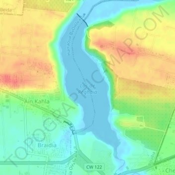
Name: Lac de Réghaïa topographic map, elevation, terrain.
Location: Lac de Réghaïa, Braïdia, Herraoua, Daïra Rouiba, Alger, Algérie (36.75809 3.33005 36.78039 3.34172)
Average elevation: 22 m
Minimum elevation: -4 m
Maximum elevation: 53 m