
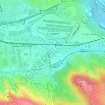
Budaörsi-árok topographic map
Interactive map
Click on the map to display elevation.
About this map
Name: Budaörsi-árok topographic map, elevation, terrain.
Location: Budaörsi-árok, Budapest, Mittelungarn, 2040, Ungarn (47.44322 18.97568 47.44703 18.98405)
Average elevation: 141 m
Minimum elevation: 107 m
Maximum elevation: 220 m
Other topographic maps
Click on a map to view its topography, its elevation and its terrain.