
Thank you for supporting this site ❤️
Make a donation
Make a donation
Lake James topographic map
Click on the map to display elevation.
Thank you for supporting this site ❤️
Make a donation
Make a donation
About this map
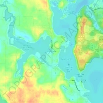
Name: Lake James topographic map, elevation, terrain.
Location: Lake James, Steuben County, Indiana, 46703, United States (41.68505 -85.06830 41.72505 -85.02830)
Average elevation: 303 m
Minimum elevation: 288 m
Maximum elevation: 328 m
Thank you for supporting this site ❤️
Make a donation
Make a donation
Other topographic maps
Click on a map to view its topography, its elevation and its terrain.