
Down Under Tank topographic map
Interactive map
Click on the map to display elevation.
About this map
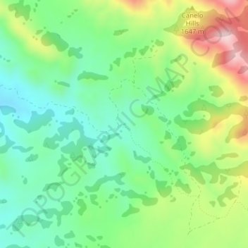
Name: Down Under Tank topographic map, elevation, terrain.
Location: Down Under Tank, Santa Cruz County, Arizona, United States (31.51914 -110.59764 31.51967 -110.59711)
Average elevation: 1,587 m
Minimum elevation: 1,476 m
Maximum elevation: 1,795 m