
Zuienkerke topographic map
Interactive map
Click on the map to display elevation.
About this map
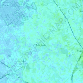
Name: Zuienkerke topographic map, elevation, terrain.
Location: Zuienkerke, Flandre-Occidentale, Flandre, 8377, Belgique (51.24381 3.11604 51.29077 3.19354)
Average elevation: 1 m
Minimum elevation: -2 m
Maximum elevation: 6 m