
Coxyde topographic map
Interactive map
Click on the map to display elevation.
About this map
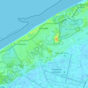
Name: Coxyde topographic map, elevation, terrain.
Location: Coxyde, Furnes, Flandre-Occidentale, Flandre, 8670, Belgique (51.08351 2.60178 51.13500 2.66917)
Average elevation: 4 m
Minimum elevation: -2 m
Maximum elevation: 27 m