
Geel topographic map
Interactive map
Click on the map to display elevation.
About this map
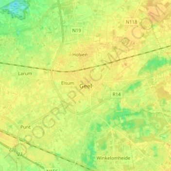
Name: Geel topographic map, elevation, terrain.
Location: Geel, Turnhout, Anvers, Flandre, 2440, Belgique (51.12108 4.95032 51.20108 5.03032)
Average elevation: 20 m
Minimum elevation: 5 m
Maximum elevation: 28 m
Other topographic maps
Click on a map to view its topography, its elevation and its terrain.