
Leuna topographic map
Interactive map
Click on the map to display elevation.
About this map
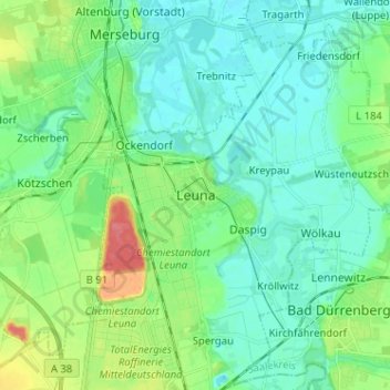
Name: Leuna topographic map, elevation, terrain.
Location: Leuna, Saalekreis, Sachsen-Anhalt, 06217, Deutschland (51.28336 11.97951 51.36336 12.05951)
Average elevation: 100 m
Minimum elevation: 83 m
Maximum elevation: 149 m