
高官寨街道 topographic map
Interactive map
Click on the map to display elevation.
About this map
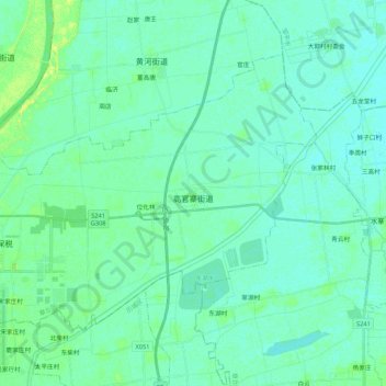
Name: 高官寨街道 topographic map, elevation, terrain.
Location: 高官寨街道, 济南新旧动能转换起步区, 章丘区, 济南市, 山东省, 中国 (36.85512 117.17593 36.97788 117.38900)
Average elevation: 21 m
Minimum elevation: 17 m
Maximum elevation: 34 m