
Camp Russell topographic map
Interactive map
Click on the map to display elevation.
About this map
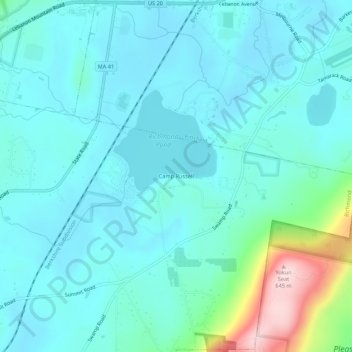
Name: Camp Russell topographic map, elevation, terrain.
Average elevation: 380 m
Minimum elevation: 330 m
Maximum elevation: 638 m
Other topographic maps
Click on a map to view its topography, its elevation and its terrain.
Richmond Pond
United States > Massachusetts > Berkshire County > Richmond > Camp Russell
Richmond Pond, Camp Russell, Richmond, Berkshire County, Massachusetts, United States
Average elevation: 353 m