
Shiro topographic map
Interactive map
Click on the map to display elevation.
About this map
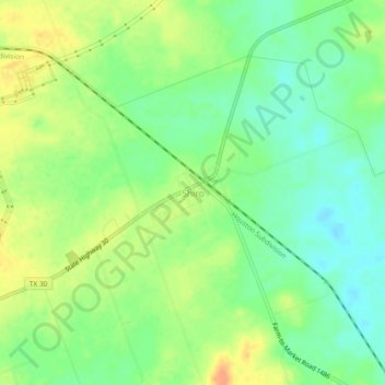
Name: Shiro topographic map, elevation, terrain.
Location: Shiro, Grimes County, Texas, USA (30.59208 -95.90922 30.63208 -95.86922)
Average elevation: 107 m
Minimum elevation: 90 m
Maximum elevation: 126 m