
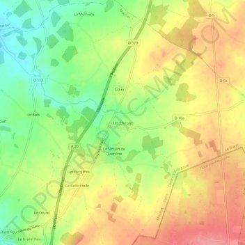
Les Chirons topographic map
Interactive map
Click on the map to display elevation.
About this map
Name: Les Chirons topographic map, elevation, terrain.
Average elevation: 295 m
Minimum elevation: 249 m
Maximum elevation: 335 m
Other topographic maps
Click on a map to view its topography, its elevation and its terrain.
La Mulnière
France > Centre-Val de Loire > Indre > Mouhet
La Mulnière, Mouhet, Le Blanc, Indre, Centre-Val de Loire, France métropolitaine, 36170, France
Average elevation: 276 m