
Heure-le-Tixhe topographic map
Interactive map
Click on the map to display elevation.
About this map
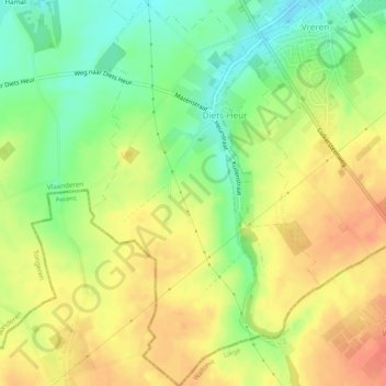
Name: Heure-le-Tixhe topographic map, elevation, terrain.
Location: Heure-le-Tixhe, Tongres, Limbourg, Belgique (50.72353 5.46748 50.75412 5.49637)
Average elevation: 124 m
Minimum elevation: 94 m
Maximum elevation: 152 m