
Misisi topographic map
Interactive map
Click on the map to display elevation.
About this map
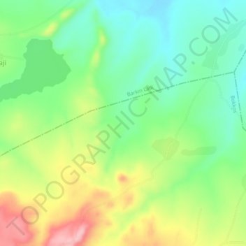
Name: Misisi topographic map, elevation, terrain.
Location: Misisi, Bokkos, Plateau, Nigeria (9.41333 8.96333 9.45333 9.00333)
Average elevation: 1,313 m
Minimum elevation: 1,250 m
Maximum elevation: 1,414 m