
盆吉乡 topographic map
Interactive map
Click on the map to display elevation.
About this map
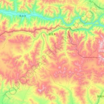
Name: 盆吉乡 topographic map, elevation, terrain.
Location: 盆吉乡, 定日县, 日喀则市, 西藏自治区, 中国 (28.86777 86.54173 29.13511 87.13605)
Average elevation: 4,961 m
Minimum elevation: 4,076 m
Maximum elevation: 6,144 m
Other topographic maps
Click on a map to view its topography, its elevation and its terrain.