
St David's topographic map
Interactive map
Click on the map to display elevation.
About this map
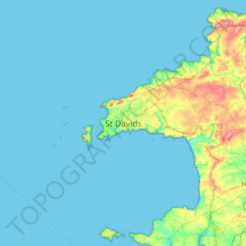
Name: St David's topographic map, elevation, terrain.
Location: St David's, Pembrokeshire, Wales, SA62 6SL, VK (51.72126 -5.42623 52.04126 -5.10623)
Average elevation: 22 m
Minimum elevation: 0 m
Maximum elevation: 208 m