
轿子山 topographic map
Interactive map
Click on the map to display elevation.
About this map
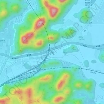
Name: 轿子山 topographic map, elevation, terrain.
Location: 轿子山, 桂林市, 广西壮族自治区, 中国 (25.26218 110.23142 25.26228 110.23152)
Average elevation: 207 m
Minimum elevation: 148 m
Maximum elevation: 413 m
Other topographic maps
Click on a map to view its topography, its elevation and its terrain.