
Stairville topographic map
Interactive map
Click on the map to display elevation.
About this map
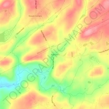
Name: Stairville topographic map, elevation, terrain.
Average elevation: 332 m
Minimum elevation: 266 m
Maximum elevation: 379 m
Other topographic maps
Click on a map to view its topography, its elevation and its terrain.
Mountain Top
United States > Pennsylvania > Luzerne County > Dorrance Township
Mountain Top, Dorrance Township, Luzerne County, Pennsylvania, United States
Average elevation: 371 m