
Fort Pierce topographic map
Interactive map
Click on the map to display elevation.
About this map
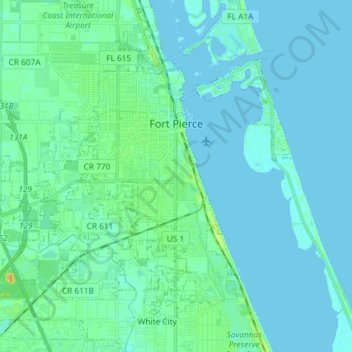
Name: Fort Pierce topographic map, elevation, terrain.
Average elevation: 5 m
Minimum elevation: -3 m
Maximum elevation: 28 m
Other topographic maps
Click on a map to view its topography, its elevation and its terrain.
Port Saint Lucie
États-Unis d'Amérique > Floride > Saint Lucie County
Port Saint Lucie, Saint Lucie County, Floride, États-Unis d'Amérique
Average elevation: 7 m