
Quang Bình topographic map
Interactive map
Click on the map to display elevation.
About this map
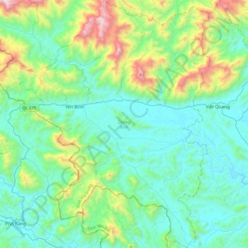
Name: Quang Bình topographic map, elevation, terrain.
Location: Quang Bình, Tỉnh Hà Giang, Vietnam (22.19826 104.44813 22.57125 104.79335)
Average elevation: 409 m
Minimum elevation: 48 m
Maximum elevation: 1,816 m