
高田川 topographic map
Interactive map
Click on the map to display elevation.
About this map
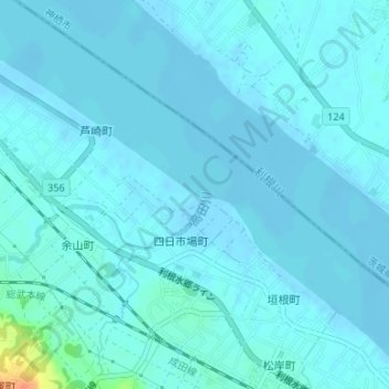
Name: 高田川 topographic map, elevation, terrain.
Location: 高田川, 銚子市, 千葉県, 288-0841, 日本 (35.75064 140.78197 35.75831 140.78772)
Average elevation: 4 m
Minimum elevation: -5 m
Maximum elevation: 41 m