
Santañy topographic map
Interactive map
Click on the map to display elevation.
About this map
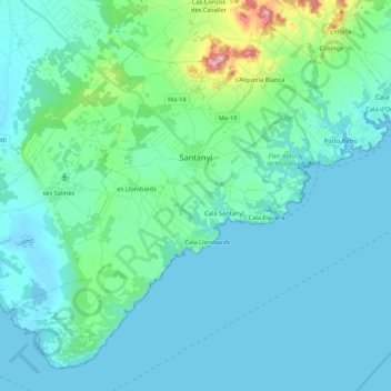
Name: Santañy topographic map, elevation, terrain.
Location: Santañy, Migjorn, Islas Baleares, España (39.26434 3.02752 39.41159 3.24232)
Average elevation: 36 m
Minimum elevation: -3 m
Maximum elevation: 274 m