
1380 topographic map
Interactive map
Click on the map to display elevation.
About this map
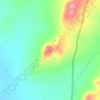
Name: 1380 topographic map, elevation, terrain.
Location: 1380, Kondoa, Dodoma, Central Zone, Tanzanie (-5.06637 35.79206 -5.06627 35.79216)
Average elevation: 1,298 m
Minimum elevation: 1,240 m
Maximum elevation: 1,405 m
Other topographic maps
Click on a map to view its topography, its elevation and its terrain.