
Kreek topographic map
Interactive map
Click on the map to display elevation.
About this map
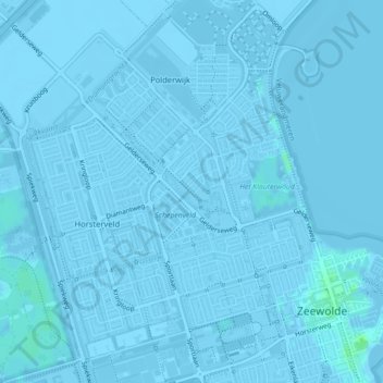
Name: Kreek topographic map, elevation, terrain.
Location: Kreek, Zeewolde, Flevoland, Nederland, 3894BN, Nederland (52.33817 5.52502 52.34085 5.53110)
Average elevation: -2 m
Minimum elevation: -9 m
Maximum elevation: 6 m
Other topographic maps
Click on a map to view its topography, its elevation and its terrain.
Waterlinie
Nederland > Flevoland > Zeewolde
Waterlinie, Zeewolde, Flevoland, Nederland, 3894AX, Nederland
Average elevation: -2 m