
Thank you for supporting this site ❤️
Make a donation
Make a donation
Pertenhall topographic map
Click on the map to display elevation.
Thank you for supporting this site ❤️
Make a donation
Make a donation
About this map
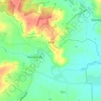
Name: Pertenhall topographic map, elevation, terrain.
Location: Pertenhall, Bedford, England, United Kingdom (52.26478 -0.43509 52.29154 -0.37210)
Average elevation: 44 m
Minimum elevation: 26 m
Maximum elevation: 76 m
Thank you for supporting this site ❤️
Make a donation
Make a donation