
里仁镇 topographic map
Interactive map
Click on the map to display elevation.
About this map
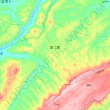
Name: 里仁镇 topographic map, elevation, terrain.
Location: 里仁镇, 秀山土家族苗族自治县, 渝东南武陵山区城镇群区位, 重庆市, 中国 (28.62898 109.12720 28.71893 109.26650)
Average elevation: 604 m
Minimum elevation: 264 m
Maximum elevation: 1,122 m