
Iowa City topographic map
Interactive map
Click on the map to display elevation.
About this map
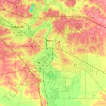
Name: Iowa City topographic map, elevation, terrain.
Location: Iowa City, Johnson County, Iowa, USA (41.59855 -91.61579 41.69663 -91.46306)
Average elevation: 216 m
Minimum elevation: 163 m
Maximum elevation: 254 m