
阳台村 topographic map
Interactive map
Click on the map to display elevation.
About this map
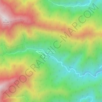
Name: 阳台村 topographic map, elevation, terrain.
Location: 阳台村, 黄山市, 安徽省, 中国 (29.55258 118.05399 29.59258 118.09399)
Average elevation: 696 m
Minimum elevation: 248 m
Maximum elevation: 1,280 m
Other topographic maps
Click on a map to view its topography, its elevation and its terrain.